news
How Stockholm's Public Image Archives Ended Up Full of Duplicates, and What's Being Done About It
A years-long backlog of repeated photographs in the city's digital planning and heritage systems has quietly grown into a bureaucratic headache, and officials are now scrambling to fix it.
How we reported this
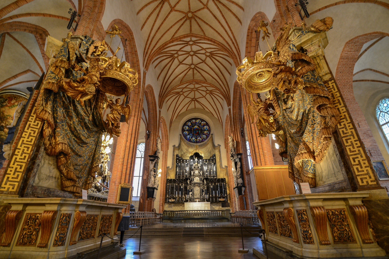
Stockholm's municipal image archives contain tens of thousands of duplicate photographs, many of them scanned multiple times across different city departments, and the problem has been accumulating since at least 2018, when the city first began consolidating its digital planning documentation under the Stadsarkivet, the city's official records authority on Kungsklippan in Kungsholmen.
The issue matters now because Stockholms Stad is midway through a major digitisation push tied to its 2025-2030 urban development strategy, and duplicate images are not merely a storage nuisance. They corrupt search results in planning databases, slow down heritage assessments, and create legal uncertainty when multiple versions of the same document appear in property dispute records. The Stadsbyggnadskontoret, the city planning office on Fleminggatan, relies on these image records for building permit decisions across all of Stockholm's 14 districts.
A Problem Born From Fragmentation
The root cause is structural. Before 2019, each of Stockholm's district administrations, from Södermalm to Järva, maintained its own local image archive. When the city centralised digital records under a unified content management system, files were migrated from at least nine separate departmental servers without a systematic deduplication protocol. Images of the same building facade, archaeological site, or planning map were often uploaded two, three, or more times under slightly different file names.
The Kulturmiljöavdelningen, the cultural heritage unit within Stockholms Stad, flagged the problem internally as early as 2021 when staff working on documentation for the Hagastaden development, the large mixed-use district being built north of Vasastan along the E4, noticed that aerial survey photographs from 2017 appeared under at least four separate entries in the planning database. Hagastaden is one of the most intensively documented urban projects in the city's recent history, with over 1,200 planning documents registered by the end of 2024, making it particularly vulnerable to this kind of archival sprawl.
Staff at Stadsmuseet on Slottsbacken in Gamla Stan, which holds both physical and digital records of the city's built environment, have described the deduplication challenge as one of the more time-consuming aspects of the ongoing archive modernisation. The museum manages over 600,000 digitised images, a collection that has grown by roughly 40,000 items annually since 2020, according to figures the institution has published in its public annual reports.
What the City Is Now Doing
Stockholms Stad awarded a contract in late 2025 to carry out a systematic duplicate-image replacement programme across its core planning and heritage databases. The process involves automated hash-checking, essentially a digital fingerprinting technique, to identify files that are byte-for-byte identical, followed by manual review of near-duplicates where lighting, cropping, or compression differs slightly. The contract, handled through the city's procurement framework, covers records held by both Stadsbyggnadskontoret and Stadsarkivet, with a deadline for the first phase set for the end of the third quarter of 2026.
The practical stakes are not abstract. Duplicate entries have already caused delays in at least two planning permit reviews in the Älvsjö district in 2024, where conflicting image records led to requests for re-documentation of properties along Vantörsvägen. Each re-documentation request adds weeks to a permit timeline and costs the applicant additional survey fees that can run to several thousand kronor per property.
For residents or developers currently engaged with the planning system, the clearest advice from officials is to verify that any image documentation submitted to Stadsbyggnadskontoret after July 1, 2026, conforms to the updated file-naming and metadata standards published on the city's e-tjänster portal. The new standards require a unique timestamp and GPS coordinate embedded in each image file's metadata before submission, a change designed to make future deduplication automatic rather than retrospective. The full archive clean-up is expected to be complete before the end of 2026, clearing the way for a more reliable system ahead of the next major planning round in early 2027.